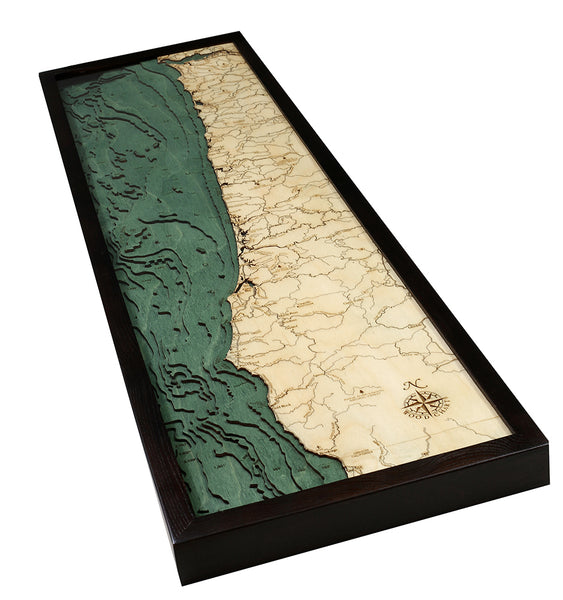
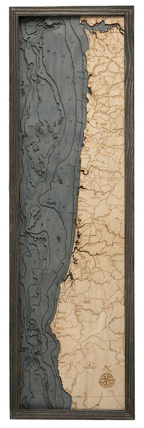
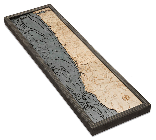
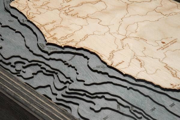
Oregon Coast 3-D Nautical Wood Chart, Narrow, 13.5" x 43"
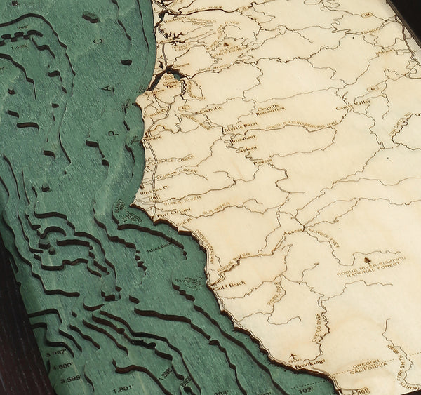
The Oregon Coast is as rugged as it is breathtaking! The details on this wood chart reveal the topography of the land as it stretches to the coast and gives way to the cliffs and shoreline. The edge of the west coast melts into stunning sunsets over the Pacific Ocean, the depths of which are meticulously charted on this 3D wood map.
The Oregon Coast consists of 363 miles of shoreline that meander along coast, dipping in and out of coves and bays and roaming into the Columbia River. Each point of interest, waterway, and landmark is etched into the high-quality Birch of the nautical wood chart, providing a unique perspective of this unspoiled stretch. The Oregon Coast wood map arrives in a custom-fit solid wood frame and ready to hang.
Oregon Coast 3D Wood Map Points of Interest Include:
Columbia River, Astoria, Clatsop State Forest, Tillamook Head, Coos Bay, Port Oxford, Gold Beach, Siuslaw National Forest, and Rogue River-Siskiyou National Forest
Oregon Coast Nautical Wood Map Details:
- Made from High-Quality Birch
- Laser-cut Depth
- Engraved Names and Locations
- Acrylic Glass Protection
- Solid Wood Frame Made to Fit
- Arrives Ready to Hang


