
The water you know,
carved to its true depth
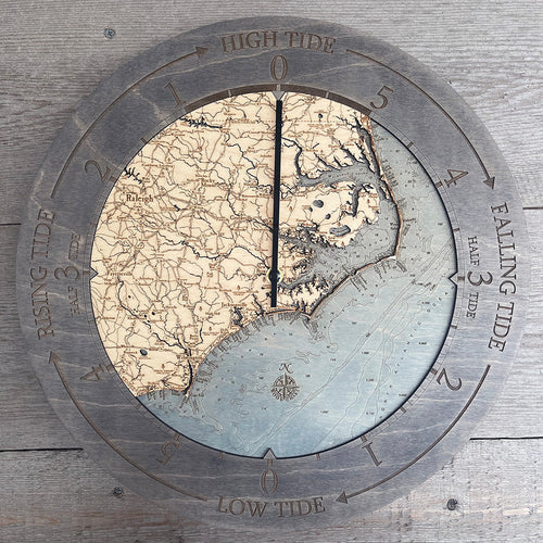
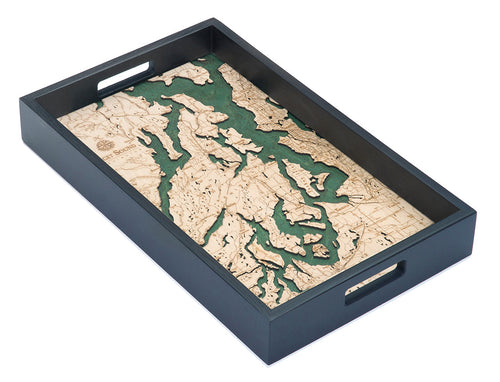
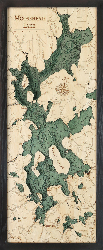
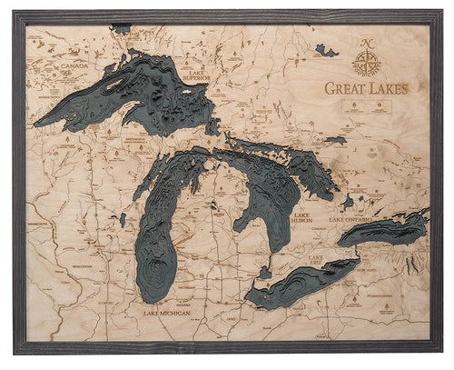
Every Woodchart begins with a nautical survey and ends as hand-finished relief, cut layer by layer from birch.
Chart your waters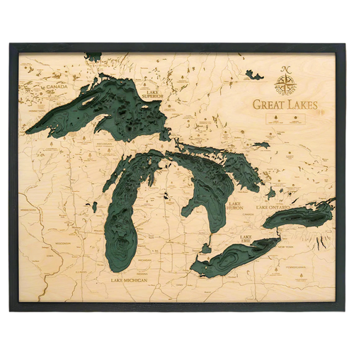

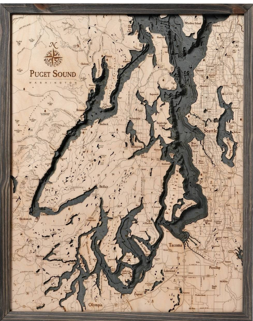
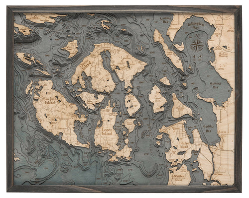
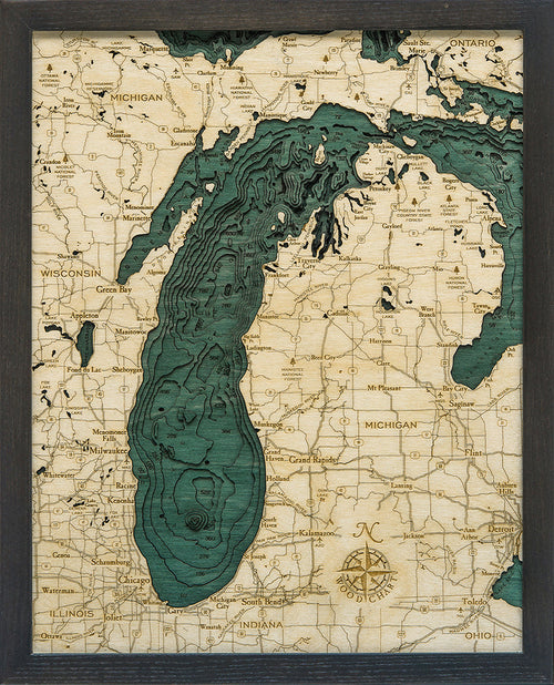
Satellite to Sounding


From orbit to your wall
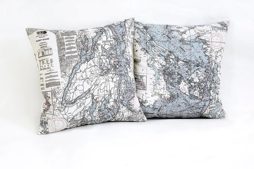
Slide between the satellite survey and the finished carving. Every contour on the chart is a real depth sounding, nothing is decorative.
See how they're made
Plate III · UV Woodcharts
Woodcharts, UV-printed and cover-free
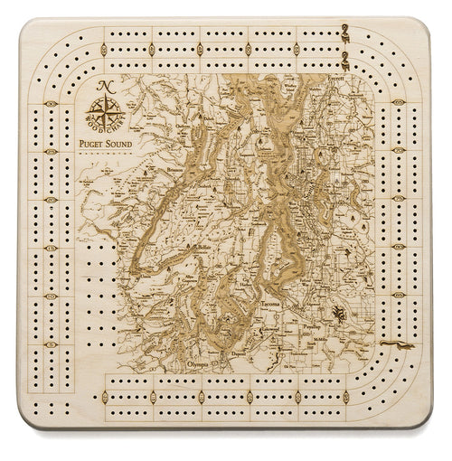
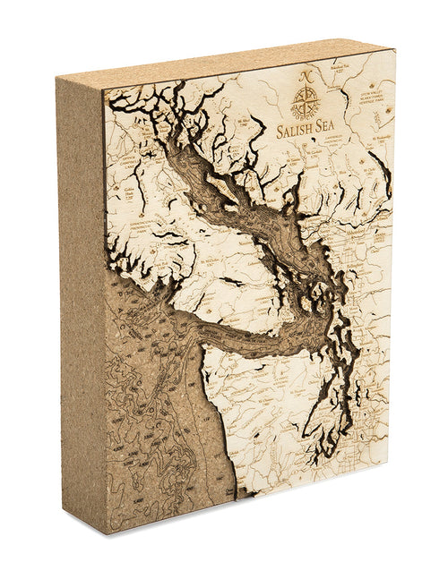
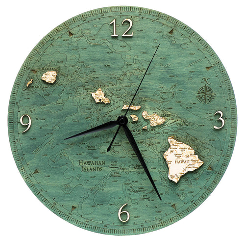
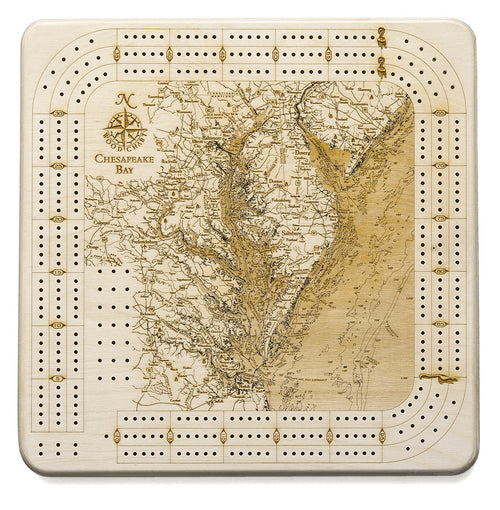
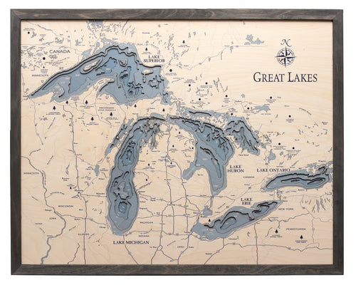
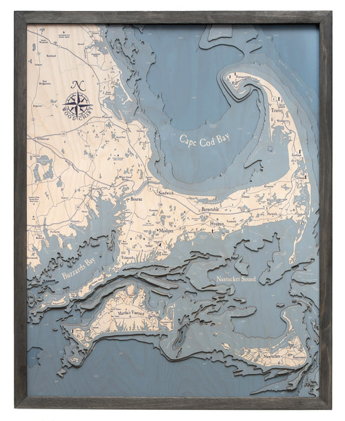
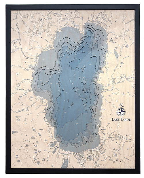
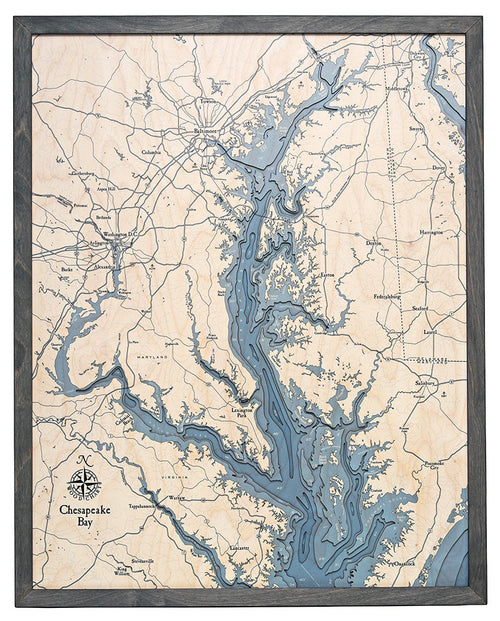
The UV series takes a different route to the same waters. The layers are still laser-cut from Baltic birch, and they are hand-stained so the water reads darker the deeper it gets. We use high-resolution UV printing to add the points of interest and fine location details to the top layer. The build runs up to five layers and lands at a friendlier price. And with no acrylic cover, nothing sits between your hand and the wood - you can run your fingers across the contours and feel the depth as well as see it.
In this line
-
 Sale · 22% off
-
 Sale · 22% off
-
 Sale · 22% off
-
 Sale · 22% off
Find your water
Every lake and coastline we've charted, on one map. Pan, zoom, or search, then see the charts we make for that water.