WoodChart
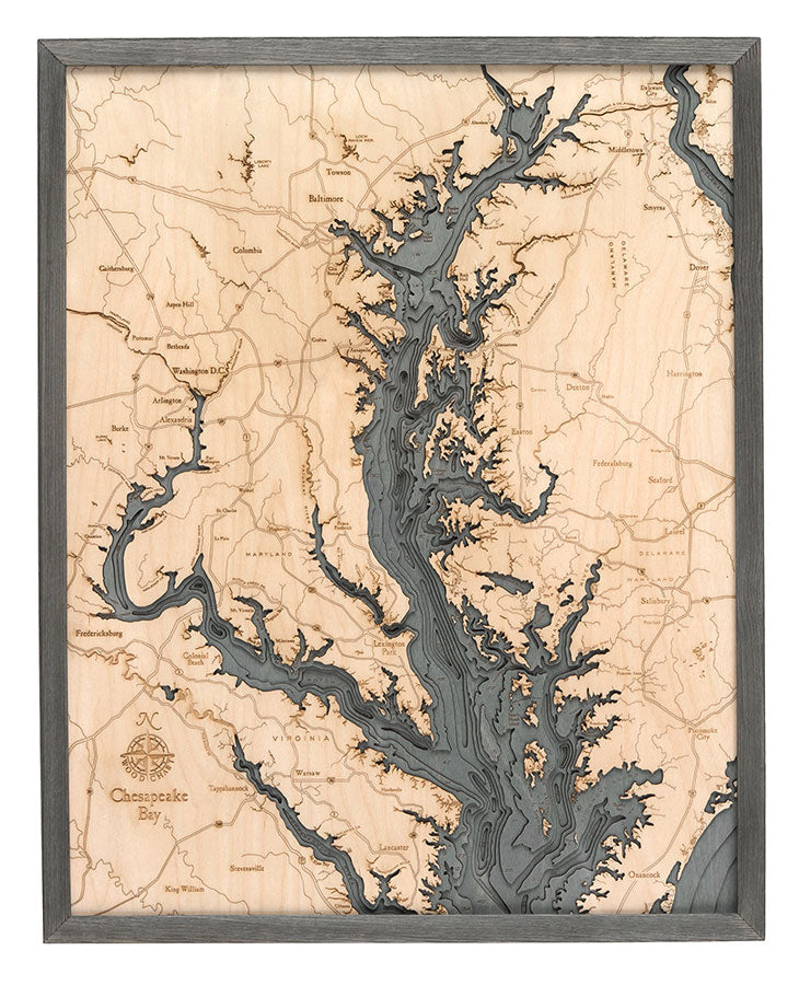
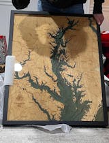
Chesapeake Bay 3-D Nautical Wood Chart, Large, 24.5" x 31"
- Regular price
- $332.00
- Sale price
- $332.00
- Regular price
Escape from the stress of daily life with a relaxing sailing trip or weekend getaway to one of the most stunning coastal towns in the country. The Chesapeake Bay is home to beautiful beaches, delicious meals, and incredible sailing, making it a beautiful and peaceful choice for anyone looking to get away.
The Chesapeake Bay was created more than 12,000 years ago when the Susquehanna River valley was flooded by melting glaciers. Home to the largest estuary in the United States, this coastal community is known for fishing, watersports, and incredible sunsets.
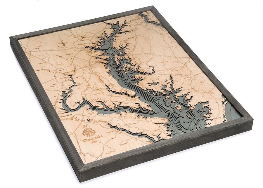
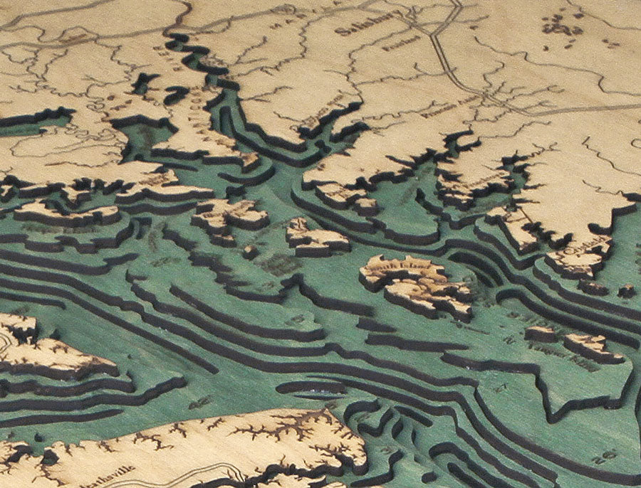
Our 3D nautical wood map of Chesapeake Bay features laser-cut layers of Birch that have been glued together to create the stunning visual depth of the lake’s topography. The water is hand-stained, and points of interest and major roadways are etched into the wood’s surface. This nautical wood map is one of the most precise and detailed you’ll find, and each piece is finished with a custom wood frame and ultra-transparent acrylic for maximum durability and protection.
Recall the relaxing sound of the beauty of Chesapeake Bay with our 3D wood map.
Points of Interest on the Chesapeake Bay Wood Map:
Arlington, Baltimore, Dover, Lexington Park, Nanticoke River, Pocomoke Sound, Potomac River, and Washington D.C.
Chesapeake Bay Wood Map Details:
- Made of High-Grade Birch
- Solid wood frame made to fit
- Laser-cut depth
- Engraved names and locations
- Acrylic glass protection
- Arrives ready to hang
Frame Styles:
- Dark Brown Frame, Greenish Blue Water
- Rustic Grey Frame, Greyish Blue Water
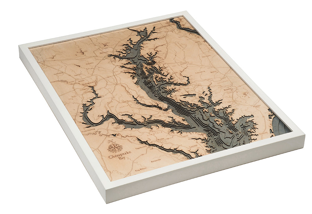
- White Frame, Greyish Blue Water

