When we think of maps today, most of us think of our smartphone and the GPS map we have access to at the tap of a screen. However, the history of the first map and its subsequent evolution has made maps easy to read and use, taking us anywhere we want to go. So how did we get here?
The Oldest Maps Are on Cave Walls

The first map of the world was created by Anaximander, in Greece, in the 6th century B.C. He drew a map of the world and assumed that the earth was cylindrical. These world maps were repeatedly made by hand to be shared with others.
However, the first maps to ever be tracked were found on cave walls. It’s believed that cave people would paint maps in caves to the places they had been, detailing them with what they had seen. The word map originates from the Latin word “mappa.”
But how did we find these maps, and how many have yet to be discovered? Cave surveying has allowed us to explore these caves full of rich history and learn about new places.
The Origin of Cave Mapping
So, we know a little bit about maps in caves, but what about maps of caves? The first-known map of a cave dates back to 1546. It was a man-made cave found near Naples, Italy. However, the first natural cave mapped dates to 1656, and the sketch is still around today.
When it comes to cartography, the origin of a map is the point or place where it begins. While a cave map's origin usually starts at the entrance, this can vary based on where the survey team begins their work.
So why does the map’s origin matter? The map’s origin dictates the location people will start at on the path and continue to follow when exploring. This allows tourists to read a map using an origin point to plan their entire trip!
So How Are Caves Mapped?

A survey team is assigned to create a map for a specific cave. They begin at a fixed point, which dictates the map’s origin, and then measure a series of consecutive line-of-sight measurements between stations as they walk. The team consists of at least two people, allowing one person to measure while the other takes notes. This process is called cave surveying.
The Art of Cave Surveying
- Equipment
- Direction
- Inclination
- Distance
Grab Your Equipment
If you are preparing to survey a cave, you will need specific equipment to accomplish this. The essential equipment includes a compass, clinometer, notebook, and measuring instrument. We recommend surveying in pairs at a minimum. A pair includes a surveyor and a draftsman. The surveyor measures while the draftsman takes notes. While you can survey alone, it’s very time-consuming to complete both tasks in sync without any assistance.
Start With the Direction

Grab your compass and point away. Your compass is used to measure any horizontal angles in the cave. Measure a section, make a note, and move on to the next section. While any brand compass will do, investing in a durable and waterproof compass will provide you with the most accurate measurements if you plan to continue cave surveying. Your starting point will be the map's origin.
Look at That Incline
Next, grab your clinometer. Used to measure heights, slopes, and vertical angles, this tool is essential to complete your cave surveying. Again, any brand will do, but consider a compass with a built-in clinometer if you aren’t looking to carry a lot of equipment.
Measure the Distance
When measuring the distance of a cave, you can use the good old-fashioned measuring tape that you’ve had for years, but the modern solution is a range finder. A range finder uses a laser that accurately estimates distance. For example, Terrestrial Laser Scanning (TLS) has helped provide high-level detail of natural and artificial caves.
Reasons Why We Need Cave Maps
Cave maps are needed for two main reasons: management and research. Cave mapping allows us to research and learn about these caves. While spelunking (cave exploring) is fun, it provides valuable information about the surrounding area, including local minerals, insects, and air currents.
Knowledge of these caves is crucial for proper management because park services and other resources ensure these caves are well taken care of and preserved. It also provides the origin of the cave and allows for tourists to visit these breathtaking caverns.
Terms a True Cave Surveyor Must Know
- Spelunker
- Spelunker Paradise
- Speleologist
- Cartographer
Looking to Become a Spelunker?
A spelunker is an explorer of caves. The term was first introduced in the United States in the 1950s. Spelunkers tend to explore in groups enjoying and exploring their hobbies. The term spelunker means cave and is derived from “spelunca.” However, this Latin word was borrowed from the Greek word “spelynx,” which also means cave!
Spelunkers don’t necessarily have proper training but enjoy surveying and exploring caves for their enjoyment. While spelunkers get mistaken for cave divers, divers must undergo proper training before participating in that activity.
What’s Spelunker Paradise?
Missouri is known as spelunker’s paradise! Missouri has over 6,000 explored caves that contain fossil remains, stalagmites, stalactites, and cave life. Many caves are visited on foot, but some have jeep-pulled trolleys!What’s a Speleologist?
Simply put, speleologists study caves. However, many speleologists have a specialized focus within cave studying. These focuses include studying the rocks that caves are made of, how the caves formed and why, and living organisms. Others study caves to find out more about Earth’s rich history.
What’s a Cartographer?
Cartographers draw and produce maps. The word cartographer comes from the Latin word “charta,” meaning tablet or leaf of paper, and the Greek word “graphein,” meaning to write or draw.
After a cave survey team has completed their research, they submit their findings to a cartographer, who then creates the cave map based on their notes. The origin of the map is based on where the survey team began their research. Some cartographers will also explore the cave to ensure the maps are accurate.
Cave Maps and Technology
In recent years, map technology has taken the surveying world by storm. This technology has been used to recreate cave maps using the notes and measurements from speleologists to complete the map. In addition, the popular video game, Minecraft, allows users to create or re-create caves and explore caves other users have created!
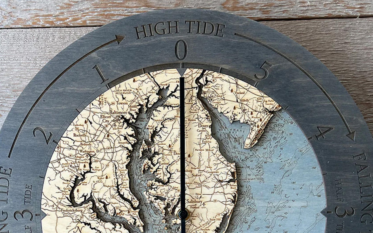
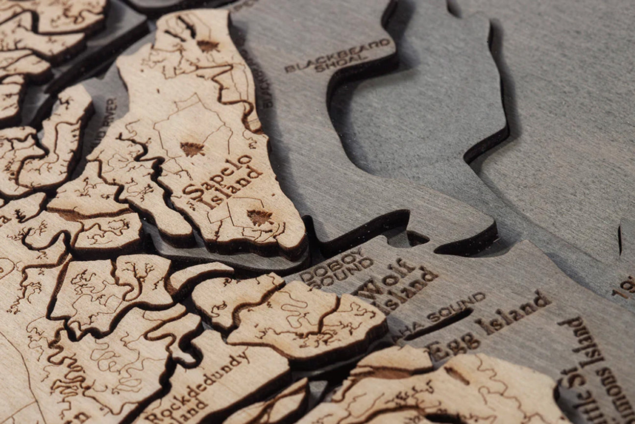
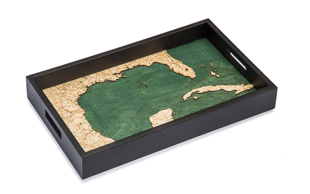
Have we convinced you to adopt spelunking as your new hobby yet? Spelunking is a great excuse to plan your next trip. Whether you explore caves during your trip to the Great Lakes, check out spelunker's paradise in Missouri, or hike through the Ape Caves in Washington, commemorate your trip with a wood map!
Also, it’s the perfect excuse to decorate your house while telling stories to friends of your latest spelunking adventures.


