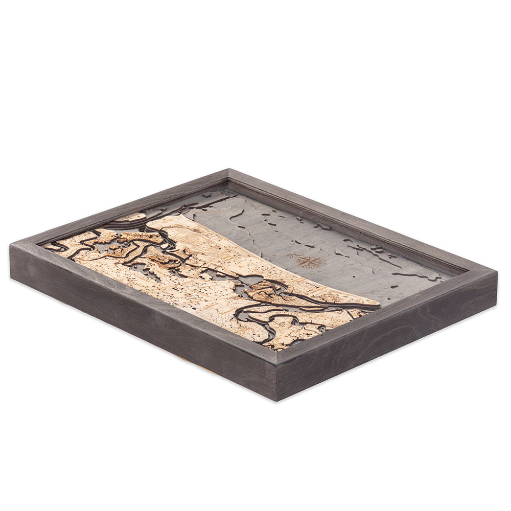
Amelia Island 3-D Nautical Wood Chart, Small, 16" x 20"
Amelia Island 3-D Nautical Wood Chart, Small, 16" x 20"
Free shipping to the continental U.S.
Couldn't load pickup availability

- Dimensions
- 16″ × 20″
- Material
- Baltic birch, hand-stained water
- Build
- Up to nine laser-cut birch layers
- Detail
- Carved bathymetric relief, laser-etched labels
- Source
- NOAA nautical survey data
Escape back to an easier time with the small-town feel of Amelia Island. Unparalleled natural beauty surrounds you in the state parks and pristine beaches where you can spend a weekend you will remember for a lifetime. Whether you choose to spend your time riding horses, swimming in the waves, or learning about local history, you will start planning your return the moment you leave the island.
The Amelia Island, Florida, 3D wood map highlights the roadways and points of interest in high-quality birch. Laser-cut to precisely detail the waterways and surrounding land, each piece is glued together seamlessly to create the topography and bathymetry of Amelia Island. The wood is hand-stained to create visual depth, and the points of interest are etched into the wood. Your nautical map is finished in a solid wood frame and protected by acrylic glass.
Points of Interest on the Amelia Island, Florida, Nautical Wood Chart: Amelia City, American Beach, Black Hammock Island, Broward Island, Chester, Fernandina Beach, Franklintown, Glenwood, Nassauville, O’Neil
Amelia Island, Florida, Wood Map Details:
- Made of high-quality birch
- Up to 9 laser-cut layers of depth
- Engraved names and locations
- Acrylic glass protection
- Solid wood frame made to fit
- Arrives ready to hang
Frame Style:
- Rustic Grey Frame, Greyish-Blue Water
- White Frame, Greyish-Blue Water