


Katherine A.11 · 25 · 2023
★★★★★
Sent as a gift for a friend and she loved it!
Free shipping to the continental U.S.
Couldn't load pickup availability
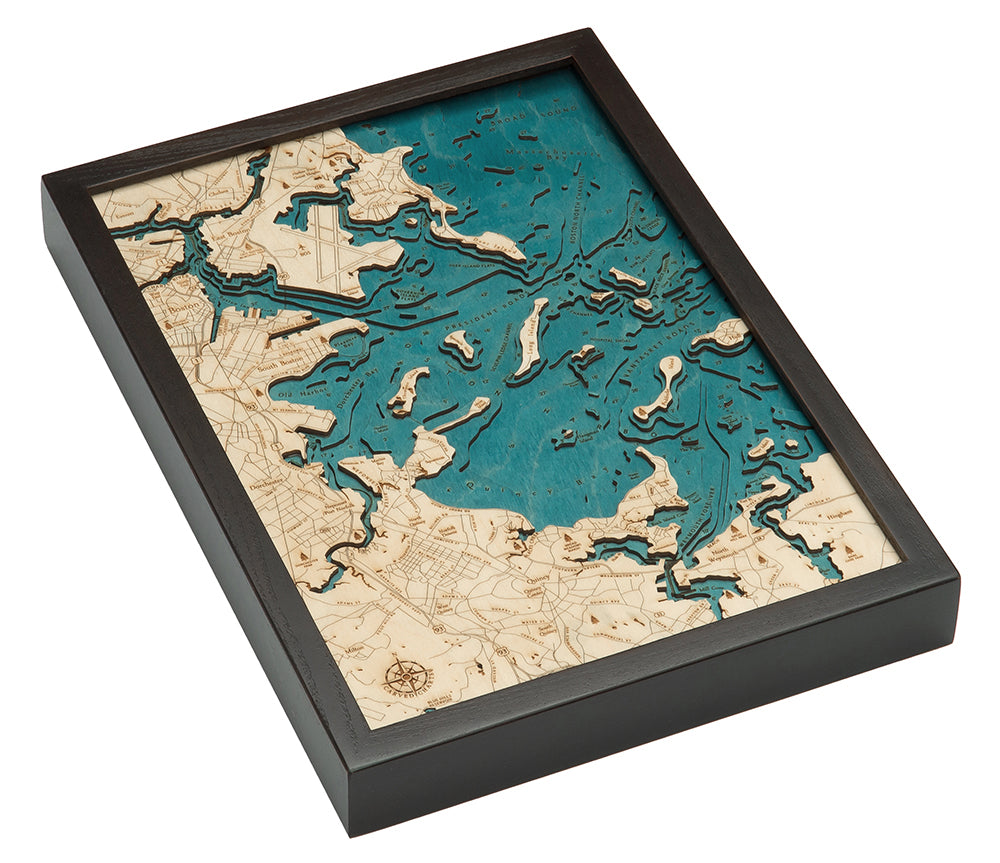
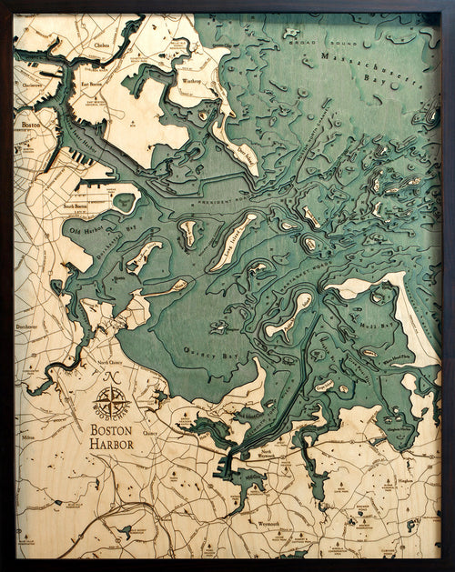
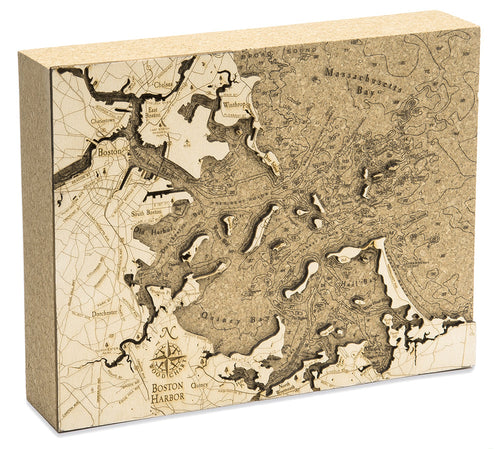
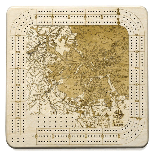
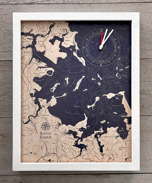
With a stunning waterfront park and more history than you can imagine, Boston Harbor offers a mixture of romance and adventure. Whether you prefer boating around the harbor’s surrounding bay or strolling through the historic Harvard Yard, Boston Harbor has a way of drawing you in and making you feel at home.
Boston Harbor has been a key player in American history since the Boston Tea Party in 1773. The harbor serves as both a welcome mat to Boston and an estuary of Massachusetts Bay. In addition to the nearly 180 miles of shoreline, the harbor also features dozens of islands, thirty-four of which are designated as part of the Boston Harbor Islands National Recreation Area.
Points of Interest on Boston Harbor Map:
Boston, Winthrop, Chelsea, Dorchester, Weymouth, Georges Island, Quincy Bay, and Little Brewster Island, home to America's oldest lighthouse
Boston Harbor Lake Art Details:
Frame Styles:


Sent as a gift for a friend and she loved it!
I love it thank you
Very detailed piece of work
best place to buy a great gift
Gift recipient loved the map
Quick and easy shipping. Recipient loved it!
This 3D map of Boston Harbor is exquisite! Fantastic gift. It has imperfections (differently colored wood spots, slight burn marks from the writing tool) which honestly make it look even better and more authentic. Such a neat item, especially for someone who's into geography or topography!
It's perfect! Exactly what I expected
This is so beautiful! Excited to give it as a gift!
Beautiful! We love it. As described. Detailed, bright!
loved it
as expected
even better.
love it
Fast ship!! Excellent customer service!! I bought it as a Christmas gift for my husband who grew up in that area. HE LOVES IT!!!! *****
I bought this for my son's birthday but didn't get to see the piece until recently. He loved the piece as I did.
Beautiful and incredibly well-made. Shipping was as fast a promised. Made for a great gift!
Just amazing. Was delivered in record time and everyone who sees it loves it. Will be purchasing more in future.
Fast shipping, sturdy, quality piece.
 Sale · 20% off
