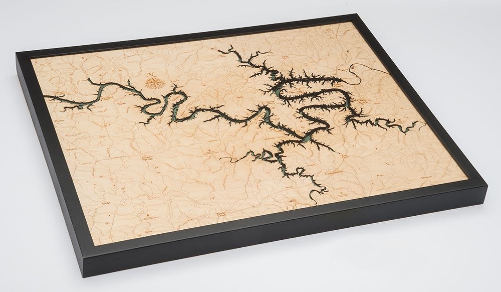
Lake of the Ozarks 3-D Nautical Wood Chart, Large, 24.5" x 31"
Lake of the Ozarks 3-D Nautical Wood Chart, Large, 24.5" x 31"
Free shipping to the continental U.S.
Couldn't load pickup availability
- Dimensions
- 24.5″ × 31″
- Material
- Baltic birch, hand-stained water
- Build
- Up to nine laser-cut birch layers
- Detail
- Carved bathymetric relief, laser-etched labels
- Source
- NOAA nautical survey data
Relive your summer memories on the water of the Lake of the Ozarks! The summers you spent fishing, boating, and exploring the limestone caverns will return vividly to your mind as you study this stunning topographical wood map. A variety of vistas are exquisitely etched into this stunning lake art for you to remember your time spent wandering the miles of shoreline or enjoying the state parks.
The Lake of the Ozarks is a reservoir created by impounding the Osage River and three smaller tributaries. Explore this lake wood map to find the ghost town, Old Linn Creek, which was completely covered by water when the dam was created in 1920.
Points of Interest on the Lake of the Ozarks Wood Chart:
Greenview, Sunrise Beach, Shawnee Bend, Horseshoe Bend, and Porter Mill Bend
Lake of the Ozarks Wood Lake Details:
- Made of high-quality birch
- Up to 9 laser-cut layers of depth
- Engraved names and locations
- Acrylic glass protection
- Solid wood frame made to fit
- Arrives ready to hang
- Classic, Dark Brown Frame,
- Greenish-Blue Water Color