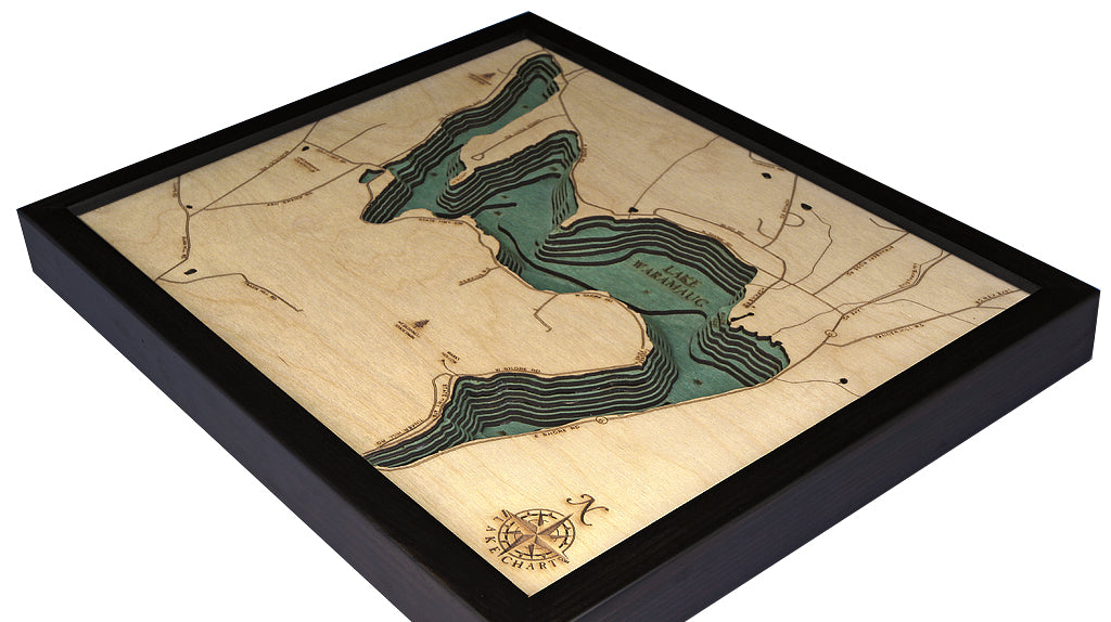
Lake Waramaug, Connecticut 3-D Nautical Wood Chart, Small, 16" x 20"
Lake Waramaug, Connecticut 3-D Nautical Wood Chart, Small, 16" x 20"
Free shipping to the continental U.S.
Couldn't load pickup availability
- Dimensions
- 16″ × 20″
- Material
- Baltic birch, hand-stained water
- Build
- Up to nine laser-cut birch layers
- Detail
- Carved bathymetric relief, laser-etched labels
- Source
- NOAA nautical survey data
For a scenic, relaxed experience, it’s hard to do better than a visit to Lake Waramaug. This Connecticut landmark attracts people from across the country with its fishing, fall foliage, and boating. It is a wonderful place to relax and enjoy each other’s company.
Named after Chief Waramaug of the Potatuck Native American tribe, Lake Waramaug is the second-largest natural lake in Connecticut. Public access to the lake is granted only through Lake Waramaug State Park, maintaining the secluded atmosphere of the area.
The map utilizes high-quality birch to create an incredible tribute to this lakefront oasis. An artist laser cuts sections of wood in the precise outline of the lake’s shoreline, using a two-millimeter precision cut to ensure the highest attention to detail. The layers of wood are placed together by hand and glued before sections are hand-stained to showcase the depth indicators of the water. Points of interest are etched into the wood lake’s surface, and a custom-sized frame completes the entire piece.
Hang this topographical lake art on your wall and recall memories you’ve made at Lake Waramaug.
Points of Interest on Lake Waramaug Map:
Lake Waramaug State Park, Mt. Bushnell State Park, Washington Public Beach, and Bates Pond.
Lake Waramaug Lake Art Details:
- Made of high-quality birch
- Up to 9 laser-cut layers of depth
- Engraved names and locations
- Acrylic glass protection
- Solid wood frame made to fit
- Arrives ready to hang