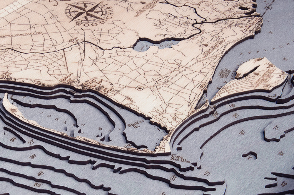
Mexico Beach To Bald Point, FL 3-D Nautical Wood Chart, Medium, 13.5" x 31"
Free shipping to the continental U.S.
Couldn't load pickup availability
- Dimensions
- 13.5″ × 31″
- Material
- Baltic birch, hand-stained water
- Build
- Up to nine laser-cut birch layers
- Detail
- Carved bathymetric relief, laser-etched labels
- Source
- NOAA nautical survey data
Our Mexico Beach to Bald Point, FL 3D Nautical Wood Chart Map Depicts the beautiful Waters and Beaches and bays Between Mexico Beach and Bald Point Florida. The nautical map includes hand-stained high-quality birch, laser-cut layers depicting the ocean's precise water depths, etched points of interest, and other important destinations in the map’s surface that make it unlike anything else you’ll find on the market. Each map is finished with a solid wood frame and acrylic layer for protection.
Points of Interest: Davis Beach, Highland View, Port St Joe, Cape San Blas, St Vincent Island, Apalachicola, St George Sound, Alligator Harbor, Ochlockonee Pt.
Wood Map Details:
- Made of high-quality birch
- Up to 9 laser-cut layers of depth
- Engraved names and locations
- Acrylic glass protection
- Solid wood frame made to fit
- Arrives ready to hang
Frame Style:
- Rustic Grey Frame, Greyish-Blue Water Color
- White Frame, Greyish Blue Water