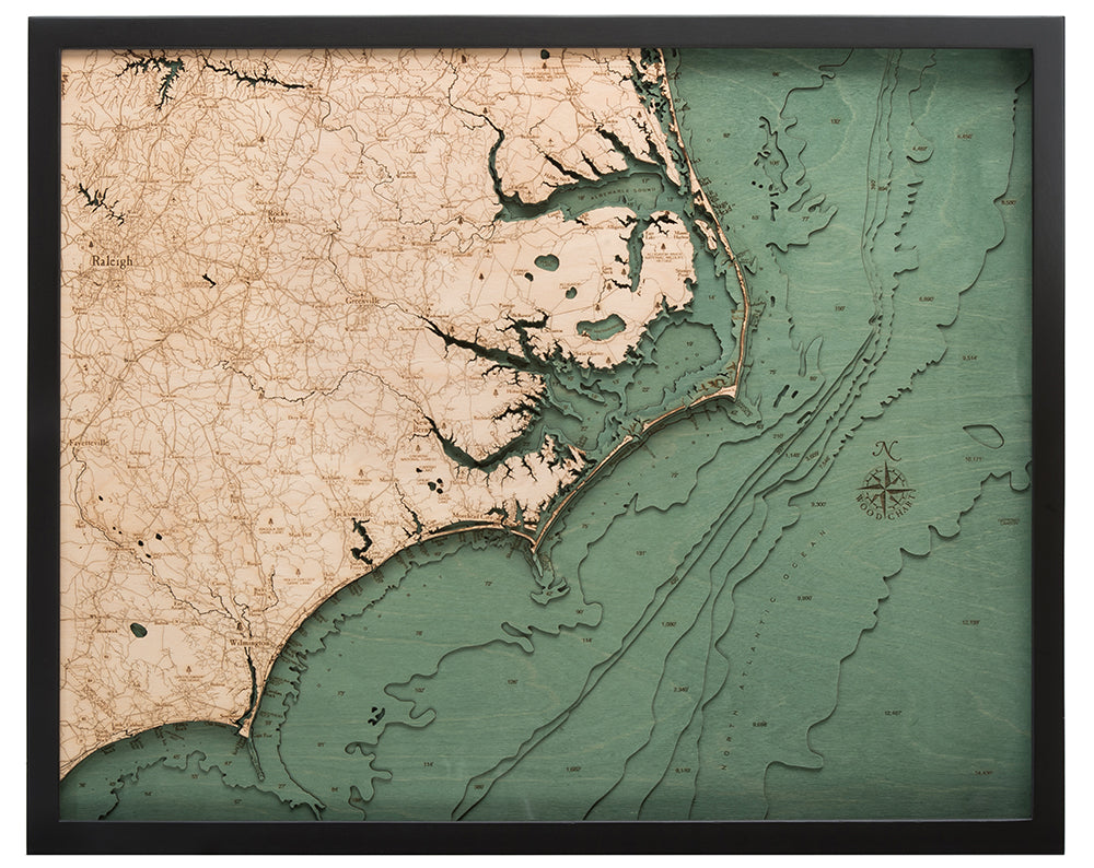
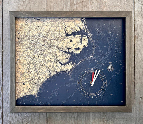
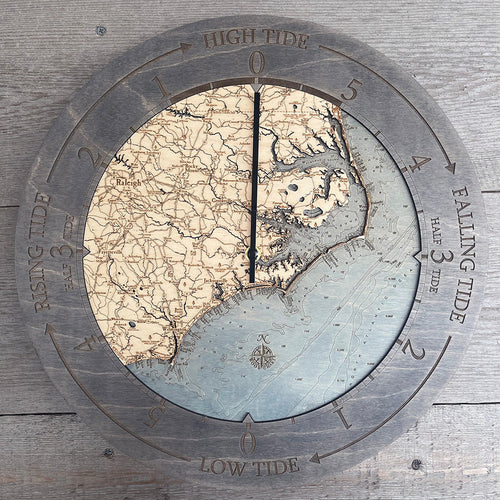
North Carolina Coast 3-D Nautical Wood Chart, Large, 24.5" x 31"
North Carolina Coast 3-D Nautical Wood Chart, Large, 24.5" x 31"
Free shipping to the continental U.S.
Couldn't load pickup availability


- Dimensions
- 24.5″ × 31″
- Material
- Baltic birch, hand-stained water
- Build
- Up to nine laser-cut birch layers
- Detail
- Carved bathymetric relief, laser-etched labels
- Source
- NOAA nautical survey data
Nothing could be finer than the memories made while visiting the North Carolina Coast. It makes for idyllic family vacations and girls’ trip adventures as you travel up the coast and explore the clear waters that border pristine beaches. Never leave your front-row seat to the state’s coastal beauty with your own 3D nautical wood chart detailing the unique and unforgettable land and waterways.
The North Carolina Coast 3D wood map highlights the waterways and points of interest in high-quality birch. Laser-cut to precisely detail the shoreline and surrounding land, each piece is glued together seamlessly to create the topography and bathymetry of the North Carolina Coast. The wood is hand-stained to create visual depth, and the points of interest are etched into the wood. Your nautical map is finished in a solid wood frame and protected by acrylic glass.
Points of Interest on the North Carolina Coast Nautical Wood Chart: Albemarle Sound, Cape Fear, Greenville, Pamlico Sound, Raleigh, Wilmington
North Carolina Wood Map Details:
- Made of high-quality birch
- Up to 9 laser-cut layers of depth
- Engraved names and locations
- Acrylic glass protection
- Solid wood frame made to fit
- Arrives ready to hang
Frame Style:
- Dark Brown Frame, Greenish Blue Water
- Rustic Grey Frame, Greyish-Blue Water
- White Frame, Greyish Blue Water