Nautical maps have been around for ages but have continued to grow and evolve over the years. They mark known hazards and other pertinent information along a route, helping travelers of the sea navigate uncharted waters or a once-in-a-lifetime boating trip safely. However, before you chart your course, there are many things that you need to know about nautical maps, including how to use and understand them.
7 Important Things to Know About Nautical Maps
- The U.S. Coast Survey
- The different types of nautical maps
- The different types of map projections
- Topographic maps
- Map requirements
- Symbols & Reading
- Planning your course
What is the U.S. Coast Survey?
The U.S. Coast Survey is the official chartmaker of the United States. Since the mid-1830s, the office of the Coast Survey is responsible for creating and maintaining all charts of U.S. coastal waters, the Great Lakes, and waters surrounding U.S. territories. In 1970, they became a part of the National Oceanic and Atmospheric Administration (NOAA).
Why Were They Created?
While having an accurate depiction of all coastal waters was necessary, gathering this information for nautical maps allowed the United States to control the growing problem of searches and seizures of American cargo and create a proper defense plan.
Where Are They Used Today?
Nautical maps are used to provide a visual of water depth, topography of land, seabed features, details of coastlines, navigation aids, and, most importantly, navigational hazards. These hazards include buildings and bridges, harbors, and pertinent information on tides and currents. Nautical maps also make for a perfect piece of lake art.
How Are They Made?
Nautical maps are made using sonar, LIDAR, and ariel photography. As the data is captured, it is used to create nautical maps showing the shape of the coast and seafloor, offshore water depth, and any specific features that would deter proper navigation.
3 Different Types of Nautical Maps
- Pilot
- Small-scale
- Large-scale
Pilot Maps
Pilot maps are primarily used by sailors planning long voyages over oceans and large stretches of water. These maps are essential for picking weather routes and timing voyages. Pilot charts have been compiled from hundreds of years of weather data. These charts contain rough predictions of conditions throughout the ocean for every month of the year, including wind and current trends, while predicting larger trends as well.
Small-Scale Maps
Small-scale maps offer the lowest detail but cover the largest area. They are generally used for planning longer trips; however, they do not show many government hazards and have several blank areas that are lacking details normally found on large-scale maps. They are not updated often due to the size of the coverage area and are not meant for trips near land. Because of this, they have a larger margin of error, so they are best used alongside other maps that provide greater detail.
Large-Scale Maps
Coastal sailors use large-scale maps as they offer more detail and higher resolution. While some features are still omitted to ensure readability, they offer much more information than small-scale maps. Included in coastal chart kits, they cover most local hazards and are primarily used for day trips. While they also have a margin for error, it is significantly smaller (up to 100 feet) vs. small-scale maps (up to 1 mile).
There Are Different Types of Map Projections
Transferring features of a round earth and an ocean floor full of different depth levels onto a flat piece of paper comes with its challenges. So how is this depth recorded? Projections! There are three main types of map projections used within nautical maps.
The 3 types of nautical map projections are:
- Gnomonic
- Polyconic
- Mercator
The Mercator projection is the most common. The Mercator projection uses two common parallel lines. The meridians are equally spaced parallel vertical lines, and the parallels of latitude are parallel horizontal straight lines that are spaced further and further apart as their distance from the equator increases. Therefore, any straight line on the projection map allows the navigator to plan a straight-line course.
How Topography is Incorporated into Nautical Maps
Topographic maps of the seafloor are used to detail depth contours and provide the size, shape, and distribution of the underwater features. The importance of highlighting topographic features in these waters is to alert travelers of hazardous areas allowing them to plan a safe route. But these measurements have also become useful for studying the weather, the climate, and other ocean phenomena. While providing us insight into the depths of the ocean, much of it remains a mystery as only 5-10% of Earth’s oceans has been explored and charted!
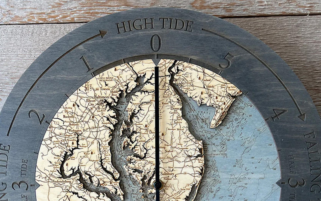
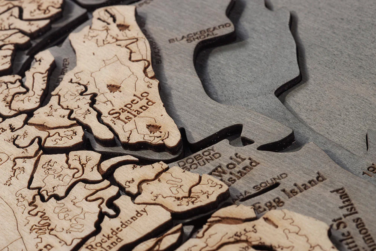
Wood Chart has mastered their nautical maps by creating 3D underwater topographic wooden maps creating the perfect piece of lake art for your home by the sea. Our lake art pieces are made to order and ensure a precise level of detail.
Why and When Nautical Maps are Required
Commercial mariners are required to have up-to-date navigation maps on board. While recreational mariners aren’t required to do the same, any boating expert will advise you to always have paper maps on board for safety, no matter what. While today’s modern technology does offer GPS options, they aren’t foolproof, so having a paper map handy is crucial in the event of an emergency.
How Often Do I Need to Update My Map?
Nautical maps are constantly being updated with corrections. NOAA issues over 11,000 corrections on average per year for each of the 1,000+ maps they have! They also know that this takes a lot of paper and that it can be hard to keep track of the most up-to-date map before your journey, so they arranged with OceanGrafix to print their maps when they are ordered by a customer.
The arrangement requires all maps are 100% up to date each time they are printed. The maps are also printed on either water-resistant paper or fully waterproof synthetic material, ensuring they can always be used. They come in handy during a bad storm, allowing the mariners to find their bearings and get back on course.
While paper and digital maps continue to change, a piece of lake art is the perfect investment. These timeless pieces will have you reminiscing for years.
What Do the Symbols Mean and How Are They Read?
Nautical maps have several symbols that you should know before you hit the open seas. When you learned how to drive, you were required to learn the different symbols you would see on the road and what they meant to ensure your safety and the safety of the other drivers.
This is the same thing, but for ocean navigation instead of land. If you are stuck without power or service, knowing how to read the map can save your life. All symbols are specified by the International Hydrographic Organization (IHO).
The most common symbols on nautical charts include:
- Topography highlighting landmarks and coastal features
- Hydrography highlighting currents and depths
- Navigational aids highlighting buoys and lights
- A standard index and their abbreviations
Unfortunately, the IHO and NOAA do not always have the same symbols for the same things. Though there is overlap and similarities, it’s imperative to know what each symbol means for the map you are looking at.
Look for the symbols that explain where any rocks, wrecks, or other obstructions are so you can plan your course around them. Buoys and lights are the most common symbols that are used by mariners. Finally, tidal information is another top symbol that should be considered when planning your course.
How to Plot Your Course Using a Nautical Map

Now that you have learned how to read your map and focus on certain symbols to ensure a safe voyage, planning your course takes time and precision. First, confirm the depth and scale of the chart you are using. This information is found below the name of the chart. As you get more familiar with the chart you are using, you reduced the chance of major planning issues arising and can move on to the next step.
As we stated, not every map is a standard with the same symbols and meanings. Look at the different notes on your chart, the index of symbols, and any other pertinent information. If you are looking to avoid fishing areas, note on the map where they are so you can plan your course around places that won’t be of interest to you. If you come across symbols you aren’t familiar with, look them up in the Nautical Publication 5011.
Finally, find your visual fixes. This includes lighthouses and anything that lets you know that you are close to land. While planning your course is important for a successful trip, preparing for any emergencies, including weather events, will provide you with extra peace of mind.
While there are many other steps that can be taken while planning your course, these are the most important ones to get you started. It may feel overwhelming, but knowing what to expect and preparing for any disruptions will ensure you enjoy your trip, no matter what floats your way.
Nautical Maps and Technology
Technology has allowed us to navigate new waters and change the way we have planned our course by providing amazing digital maps to help us navigate the sea. Some of our favorite apps allow you to plan your course, share with friends, and even link up with other boaters.
Our 5 favorite nautical apps include:
C-Map Embark – perfect for beginners, their primary focus is simplicity, allowing you to understand and accomplish the necessary tasks for a successful trip.
iNAVx – meant for the experienced boater, this app includes advanced technology, including overlaying of data. While their basic app has all the standard features you would need, their additional features may require some research.
KnowWake – If you have joined the Waze app, you know why it has continued to gain popularity. Its sleek design and easy-to-use interface have made it one of the top navigation apps. KnowWake is the Waze app of the sea. With a full community of boaters, you can look up anything from the best snorkel areas to an underrated dive shop and where to fuel up!
Navionics – While it is more complex, it continues to be one of the most popular boating apps available. Many of the features provided can’t be found anywhere else. Routing from point A to point B, creating topographic maps of the area you are in, and a user-generated community to collaborate with in real-time has kept them at the top for a reason.
SeaPilot – If you are looking for an app that will help with weather forecasting before you venture into open waters, this is the app for you. It also allows polar diagrams and determines the ideal path you should follow by taking the wind and current forecast into account!
What is a Nautical Wood Map?
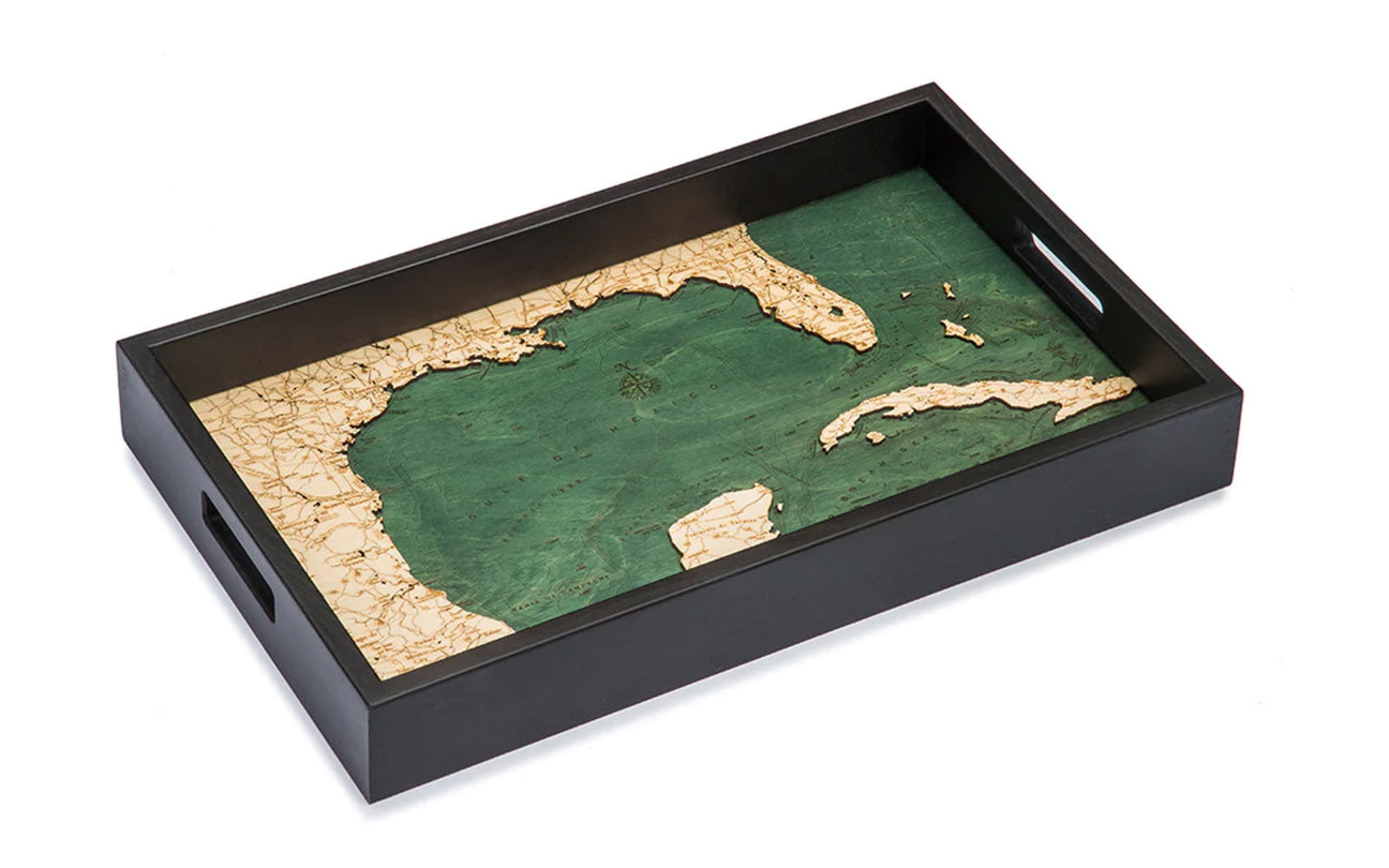
Using a laser to expertly etch layers showing the topography of land and sea, our nautical wood maps are pieces of hand-crafted lake art perfect for showing off your latest adventure. You spent weeks plotting the perfect course. Starting in Cape Cod, making your way through the Chesapeake Bay, and stopping in the Gulf of Mexico, it was the trip of a lifetime.
You are finally back at home and looking for the perfect lake art to commemorate your trip. Nautical wood maps of your travels are the perfect way to tell your story. These pieces are a favorite, and once you buy your piece of lake art, you will be hooked.
Displaying Your Lake Art
There are many ways to display your lake art, whether it’s in your office to provide inspiration and remind you to take the time off for next year’s boating adventure, or your living room to reminisce about your latest boating adventure in Lake Tahoe. Use your lake art to tell a story to your guests. Whether you opt for the nautical wooden wall clock of the Hawaiian Islands, a serving tray of Lake Michigan, or a wood chart of your passage through Alaska’s Inside Passage, these stunning pieces of lake art will be the perfect way to decorate your home with memories and inspiration.
Have we convinced you that traveling by sea is your calling? Do your research, be prepared, and plan ahead. Then go have the adventure of a lifetime! On your way home, order your lake art to show off your route to your friends and family.


