Are you looking for a vacation spot with a little bit of everything? North Carolina is a beautiful state all year round, making it the perfect target for your next getaway. With rich travel diversity from cities to mountains to beaches, there is something for everyone in the Tar Heel State.
Traveling Through North Carolina

North Carolina is a beautiful state that has become a travel destination for many. It’s easy to see the state’s attractional pull when studying North Carolina maps. The Blue Ridge Mountains are a highlight for many; lakes and the Atlantic Ocean offer vacations on the water, and the culture throughout the state is something to experience.
A trip to North Carolina could even be part of a more extensive East Coast vacation. You will want to pepper your North Carolina maps with potential destinations and make the time to see as much as you can in this unique state.
Don’t Miss the Blue Ridge Mountains
One of the most prominent mountain ranges in the eastern United States, the Blue Ridge Mountains span from Georgia to Pennsylvania. The range covers most of western North Carolina — including the city of Asheville — and provides cherished opportunities for nature lovers to explore.
North Carolina maps will show the highest point in the Blue Ridge Mountains, Mount Mitchell, which stretches to 6,684 feet in elevation. Mount Mitchell is also the highest summit east of the Mississippi River.
Why are They Called the Blue Ridge Mountains?
A part of the Appalachian Mountains, Blue Ridge gets its name from the blue haze, which is the byproduct of the oaks and other trees protecting their leaves from heat stress. No matter the cause, it is a beautiful sight to see.
Lakes and Oceanfront Vacations in North Carolina
There’s nothing like a relaxing day on the beach, and North Carolina has lake and ocean beaches for any waterfront vacation you could want. North Carolina has 301 miles of Atlantic coastline and dozens of popular lakes, making it a haven for beach-goers along the East Coast.
Famous lakes found on North Carolina maps include:
- Lake Norman
- Lake James
- High Rock Lake
- Badin Lake
- Lake Wylie
The ocean beaches include some of the most sought-after vacation spots in the region. Cape Hatteras National Seashore on the Outer Banks is prime for beach camping, fishing, and spotting sea turtles. In the summer, beaches like Kitty Hawk and Corolla attract swimmers and surfers to the area.
North Carolina’s Culture and History
North Carolina is the ancestral homeland of the Cherokee people, and cultural enthusiasts can see what the 18th-century Cherokee lifestyle was like at the Oconaluftee Indian Village in western North Carolina.
Traveling east along North Carolina maps, the Wright Brothers National Monument on the Outer Banks honors Wilbur and Orville Wright, the brothers and inventors who first successfully flew an airplane in 1903.
Aside from significant moments in North Carolina’s history, legends of buried treasure and sunken ships are popular along the coast. Whether there is truth to the legends or not, there is plenty of culture, art, and history to discover throughout North Carolina.
3 Wood Maps to Commemorate Your Travels
Every grand vacation deserves a unique memento to commemorate the trip. Wood maps are the perfect way to showcase your favorite travel destination.
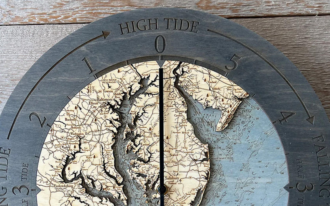
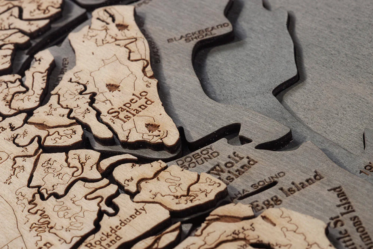
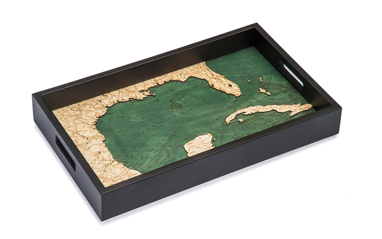
A combination of artistry and precision, wood maps are made utilizing bathymetric charts, which depict the submerged landscape of the ocean or lake bottoms. An artist uses the charts to laser etch details onto birch wood and then stains the water portions to make the stunning wood maps that are so popular. Most wood maps are available in one of three frame styles:
- Dark brown frame with greenish-blue water
- Rustic grey frame with greyish-blue water
- White frame with greyish-blue water
With a rich coastline and standout landmarks, North Carolina maps make striking wood maps that any traveler would be proud to display in their home. Searching through the wood maps of the state will showcase a variety of charts for you to choose from.
1. North Carolina Coast
As far as North Carolina maps go, you can’t go wrong with a large rendering of the state’s Atlantic coast. Wood maps are meant to cause people to stop and take in the details, and the North Carolina coastline is rich with things to note both on land and in the ocean.
Whether your trip to the coast was part of a larger vacation or your only destination, an eye-catching display is the perfect way to remember your time in the state. Wood maps of the North Carolina coast include points of interest like Albemarle Sound, Cape Fear, and Wilmington.
2. Outer Banks
A display of the Outer Banks is a necessity when discussing North Carolina maps. Outer Banks is a group of barrier islands off the coast between the mainland and the Atlantic Ocean. North Carolina’s Outer Banks is a popular destination for beach vacations, but it also holds significant historical importance as the birthplace of flight.
The slender barrier islands make a beautiful map that will certainly draw the eye as soon as someone enters the room. Points of interest on the wood maps of Outer Banks include Cape Hatteras, Kitty Hawk Bay, and Roanoke Island.
3. Virginia Beach to Kitty Hawk
Zooming out from North Carolina maps will show the coast from Virginia Beach off the southeastern coast of Virginia down to Kitty Hawk in the Outer Banks. The wood chart of this area highlights the beautiful contrast between the heavily populated area of Virginia Beach and the more relaxed North Carolina coast.
Pay attention to the striking depths of the ocean off the coast and how the rivers snake through the land to the ocean. Nature’s wonder is represented stunningly in the map of Virginia Beach to Kitty Hawk.
No matter which North Carolina maps you choose, you will love looking at them often and discovering new details. Pair your map with photos and other souvenirs from your trip along the East Coast for a stunning display in your home. Or place your wood chart in your office as a motivator to book your next trip to North Carolina.


