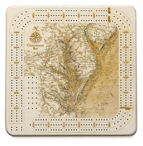
Chesapeake Bay UV Nautical Wood Chart, Large, 24.5" x 31"
Chesapeake Bay UV Nautical Wood Chart, Large, 24.5" x 31"
Free shipping to the continental U.S.
Couldn't load pickup availability


- Dimensions
- 24.5″ × 31″
- Finish
- UV-printed colour that darkens with depth
- Build
- Up to five birch layers, no acrylic cover
- Source
- NOAA bathymetric survey data
Visit Chesapeake Bay and you'll understand why it stays with people. The area is known for the largest estuary in the United States, fed by more than 150 rivers and streams.
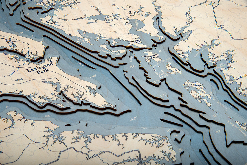
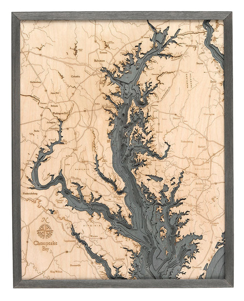
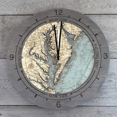
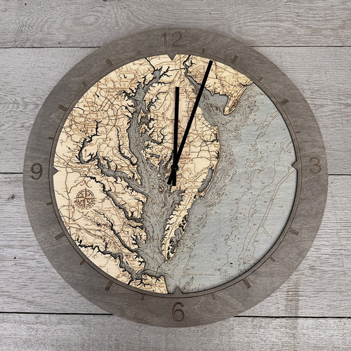
Our Chesapeake Bay UV wood chart is made with incredible attention to detail. High quality Baltic Birch is laser-cut into layers that depict the water's depths. An artist binds the layers together to create the depth our customers know and love, then hand-stains the surrounding water to match the chosen frame. Each layer is hand-stained so the water grows darker as the depth increases, creating a striking gradient that brings the contours to life. Finally, we use ultra-high resolution UV printing to indicate points of interest and locations onto the map's surface before a custom wood frame completes the piece.
Points of Interest on The Chesapeake Bay UV Wood Chart:
Baltimore, Virginia Beach, Newport News, Hampton, Gloucester, and Washington D.C
Chesapeake Bay Wood Map Details:
- Made of high-grade Baltic birch
- Up to 5 laser-cut layers of depth
- Hand-stained water layers that darken with depth
- Ultra-high resolution UV printed details
- Open-faced - no cover, so you can feel the depth
- Solid wood frame made to fit
- Arrives ready to hang